GNSS-Denied Spaces
Satellite positioning is unavailable indoors and in covered areas.
Orient Robotics | Robot Localization
MagLoc uses ambient magnetic fields to provide mobile robots with an additional positioning reference in environments where conventional localization can become unreliable.
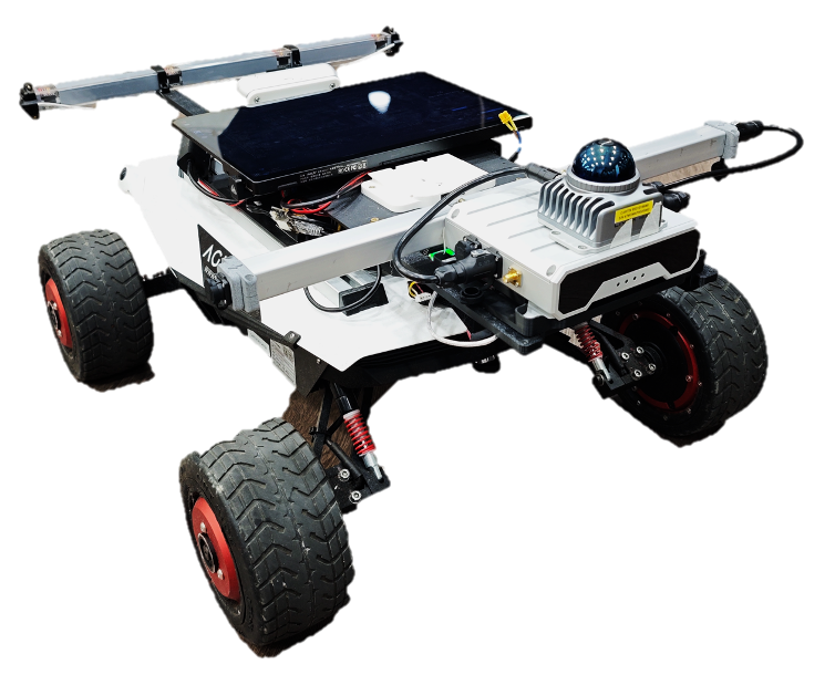
01 / The challenge
Autonomous robots must remain aware of their position even when familiar sensing cues become limited or ambiguous.
Satellite positioning is unavailable indoors and in covered areas.
Similar-looking corridors and structures can make locations difficult to distinguish.
Lighting, occlusion and environmental changes can degrade visual sensing.
Relative motion estimates may become less certain over long operations.
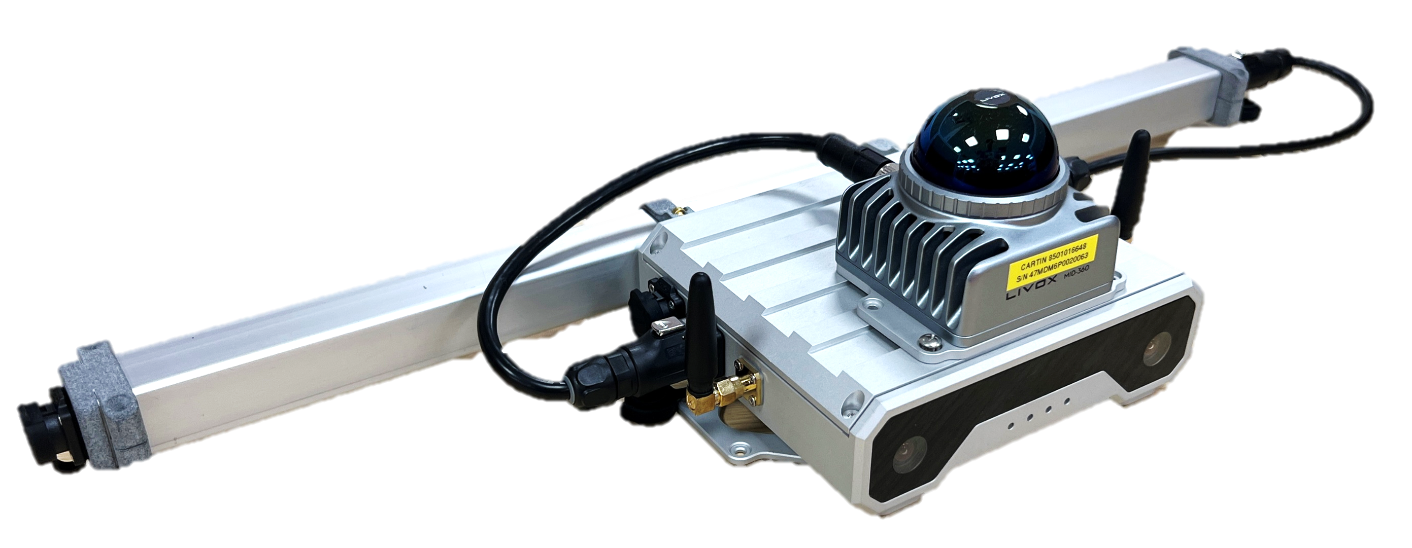
02 / Featured product
A modular magnetic localization system designed for integration with mobile robot platforms, bringing magnetic sensing, mapping and localization into a practical development workflow.
Discover MagLoc03 / Demonstrated in practice
Explore how magnetic localization has been evaluated on mobile robotic platforms in challenging environments.
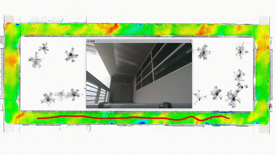
Robot demonstration in a geometrically repetitive indoor environment.
Watch Demo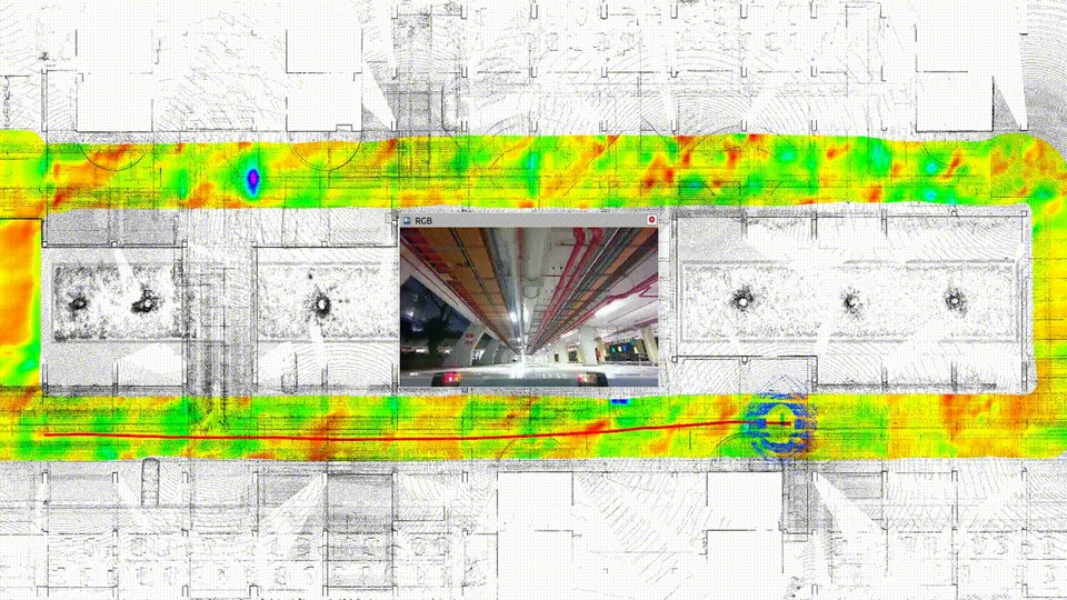
Mobile robot demonstration in a challenging parking environment.
Watch DemoResearch demonstrations in specific platform, route and sensor configurations. Results depend on the environment, mounting and map quality.
04 / About us
Orient
Robotics
Orient Robotics develops sensing and localization technologies for autonomous mobile systems. Our work focuses on translating research in magnetic sensing, mapping and sensor fusion into practical robotic applications.

Founder

Co-founder

Co-founder

Co-founder
05 / Let's talk
Tell us about your robot, operating environment and localization challenges. We can explore a suitable evaluation or pilot integration path together.
orientrobotics@outlook.com